This article was co-authored by wikiHow staff writer, Darlene Antonelli, MA. Darlene Antonelli is a Technology Writer and Editor for wikiHow. Darlene has experience teaching college courses, writing technology-related articles, and working hands-on in the technology field. She earned an MA in Writing from Rowan University in 2012 and wrote her thesis on online communities and the personalities curated in such communities.
This article has been viewed 34,344 times.
Learn more...
SHP files can be an ESRI Shapefile, which contains geographical information like street points, points of interest, and zip code boundaries. If this is the case, you can use Google Earth Pro software to import and open SHP files. This wikiHow will show you how to open SHP files with Google Earth Pro. If you don’t have Google Earth Pro downloaded, you can get the desktop version from https://www.google.com/earth/versions/#earth-pro.
Steps
-
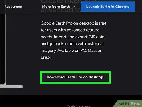
1Download Google Earth Pro for desktop from https://www.google.com/earth/versions/#earth-pro. Your download should begin automatically once you click “Download”. This works for both Mac and PC.
-
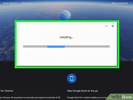
2Run the installer. For Windows users, you can just click on the installed file to start the installer. For Mac users, you have to drag the installed file into the Applications folder to start.Advertisement
-
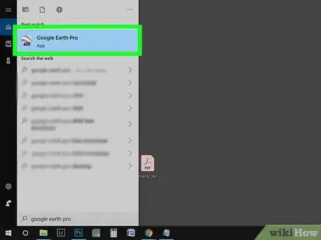
3Launch Google Earth Pro. You should find this in your Start Menu or Applications folder.
-
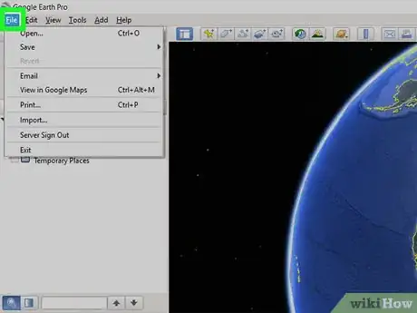
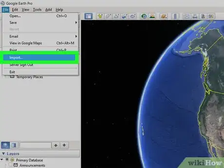
4Click the File tab. You’ll find this in the upper left corner of the main menu toolbar.
-
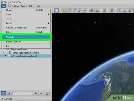
5Click Import. Your file browser will open.
- Under “File of Type,” choose “ESRI Shape (*.shp).”
-
6Double-click your SHP file. A window will pop up warning you that more than 2500 features are contained in that file that could cause a performance decrease.
-
7Click Import All. All features in the SHP file will load. If you import a sample, only the first 2500 features will load, and if you choose to restrict to view, only the features in the current view will load.
-
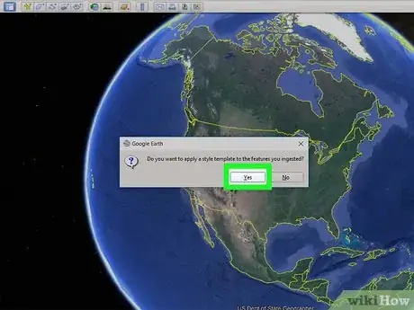
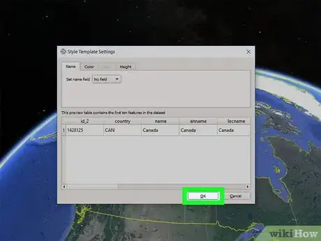
8Click Yes and set up a style template. You will want to create a style template so you can see the difference between rivers and streets.
- Under the “Name” tab, you can choose the shapefile to use as the name in Google Earth. Use the “Preview” table to see examples of what you selected.
- Under the “Color” tab, you can assign a color to that shapefile in the previous step.
- Under the “Height” tab, you can click to select “Clamp to ground,” which means your shapefile feature will stay on the ground on the map.
-
9Click Ok. A dialog box will appear asking if you want to save your template. You can pick to save, which will prompt you further for a file name, or you can skip this.
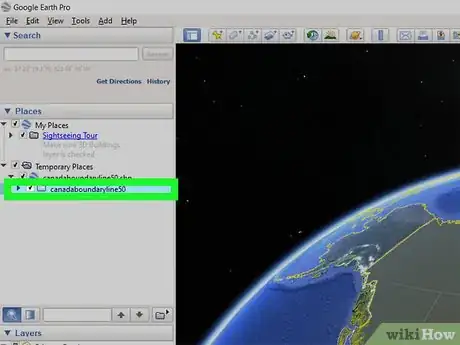
- Your SHP file loads into Google Maps and converts to a KML file. You can find your current map under “Temporary Places”, and if you want to save it for later, you can drag and drop the file from “Temporary Places” to “My Places.”[1]
References
About This Article
1. Download and install Google Earth Pro for desktop.
2. Click the File tab.
3. Click Import.
4. Double-click your SHP file.
5. Create a style template.
6. Click OK.
